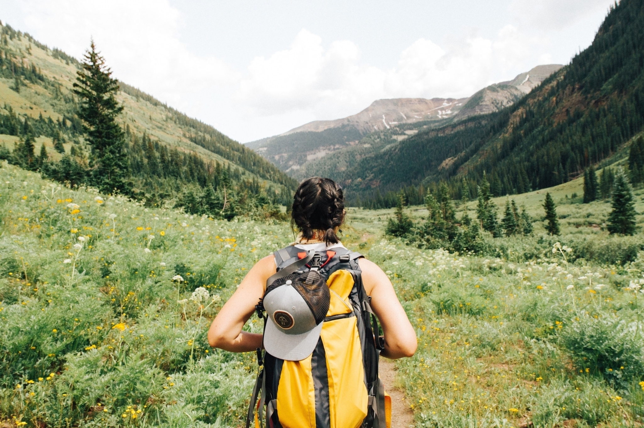
Find Your Summer Story in the Pass
Your perfect summer destination on the quieter side of the Rockies
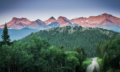
Meet Your New Home: The Perfect Blend of Nature, Community and Adventure
Why this mountain town is perfect for newcomers
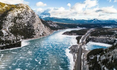
Experience Winter Wonderland in The Pass
It’s about that time when Crowsnest Pass is transformed into a winter wonderland as the region becomes blanketed in a frosty shimmer of snow, creating the perfect destination for those who embrace the cold and seek to experience the magic of winter.
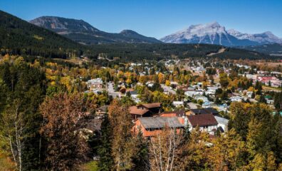
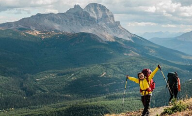
Autumn Adventures Await in The Pass
As the summer heat fades, and the crisp, cool air of autumn rolls on in, there’s no better time to explore the hidden gem that is Crowsnest Pass
